


North Coast Trail July 27 to August 2, 2014 Part 1

Participants:
Susannah, Bernard, Margaret and Myself
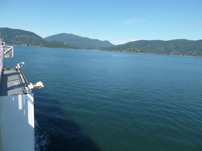
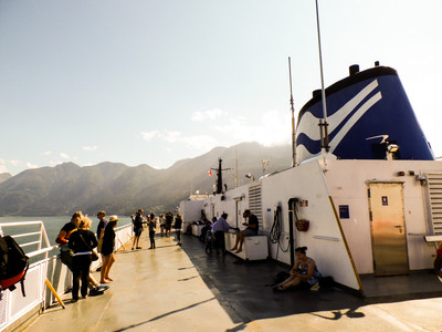
July 26 - Day before the hike. Awake at 6 am. Yesh! Have a leisurely shower (Last one for a week!) and get ready for the day. Pack is already together. Load the car and off to the airport to pick up Margaret. Goes according to plan, and make it to the ferry early! Grab coffee and chill. Once on the ferry we head to the top deck for some sun. It's a beautiful day! 2 hour ferry ride.
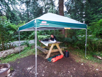
5 hour drive later we meet up with the rest of our crew. Bernard and I leave almost immediately to drop off a car at the end of the trail. 63 km down a gravel road. The website for the shuttle said it is a 45 minute drive, it lies! It takes at least an hour and a half in good conditions - each way! We arrive back at camp and dinner is ready and tents are pitched! We dine, we plan our attack on the trail and early to bed!
July 27 - Up at 5 am, pack our gear, snag a little breakfast and shuttle people and gear tot he water taxi service for 7:30/ Weather is sunny and 12 degrees.
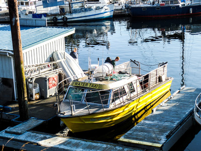
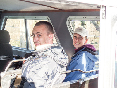
By 7:50 we are on the water taxi, and away we go! Ron our Pilot was awesome. Telling us stories of previous hikers, how they haven't lost anyone yet. He checks everyone's rented radios to make sure we knew how to use them. We didn't rent one, we had a Delorme device SOS function and texting capabilities.
Ron was saying how they had a Great white Shark up here last year. I guess it happens sometimes, they get caught in a current get get confused. We also saw some dolphins. (wasn't fast enough with the camera!)
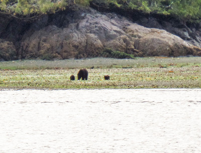
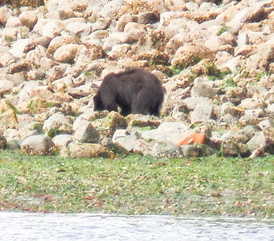
We land just before 9 am. There was a mama bear and 3 cubs across the bay, and a small bear was a few hundred meters away.
There isn't a dock, and we have to unload off the front of the boat. There goes the water taxi, and our last ride out to civilization. Only one way out now!
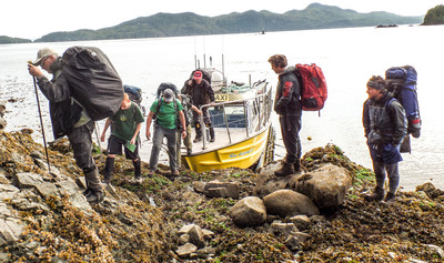
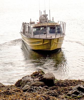
9:23 am and off we go! The trail is immediately difficult. Step one, climb the rope.
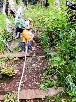
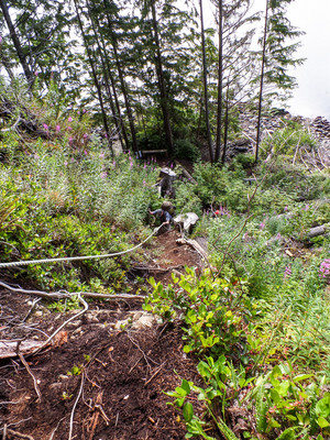
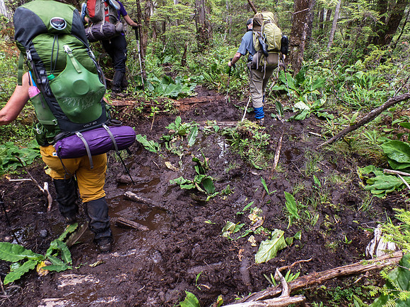
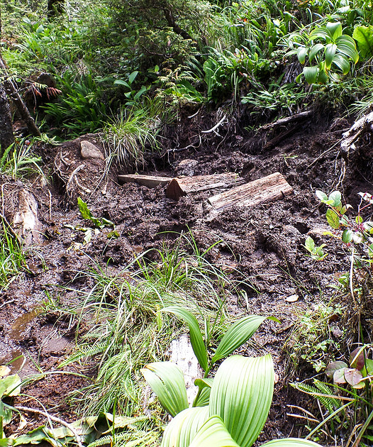
Step two, slog though mud, over logs, roots, up more ropes. Day one of the trail goes though some upland bogs. In some of my reading on the trail, when they were deciding the route for the trail, they were unsure if they were going to include the bog or not. There was some debate as to wether it was too hard/onerous and if they should just start it from Skinner Creek. They decided that the ecosystem was unique and should be included in the trail. I was glad I decided to leave Koko home. I would have had to carry him most of the trail as his little legs would not have been long enough to keep him from drowning in the mud.
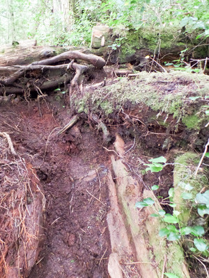
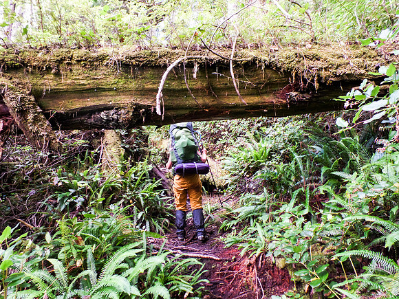
We had a GPS tracking our route, and with the mud, our steps had us tracking a lot more than what the trail milage read. Later on after Bernard cleaned up the data, the trail still tracks longer than what the trail maps say! The trail isn't static, you can see where old trail is and new trail is. People seem to be making a new trail around some of the biggest mud pits etc. making the trail longer.
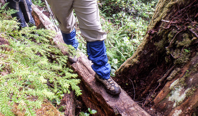
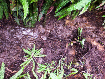
The mud was insane. Had to be careful where we stepped. Thank goodness we were wearing gaiters. On of my steps had me a foot and a half in the mud, lucky Susannah's steps had her 2 feet deep. Slogging though the mud was exhausting and took us much longer than anticipated.
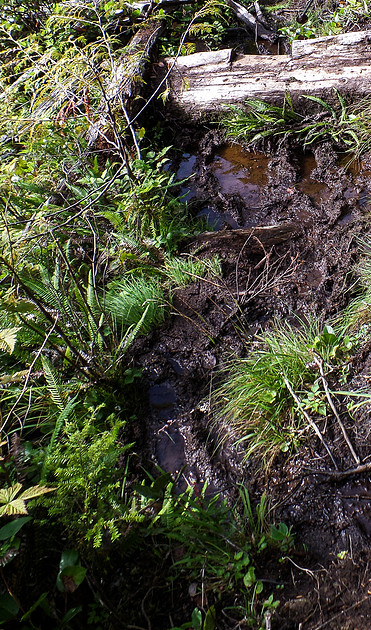
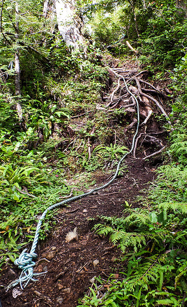
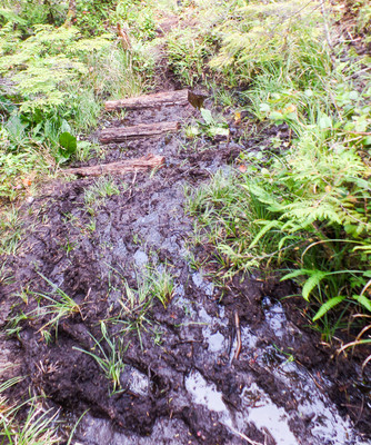
There was a lot of climbing up and over stuff, lots of leg work! We were aiming for a break every hour, and we kept pretty close to this schedule. Our first break was at 10:20.
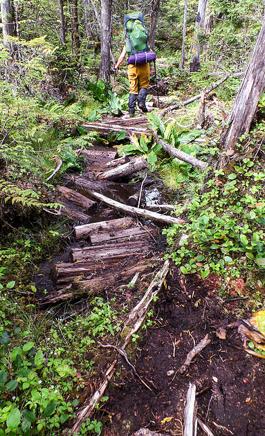
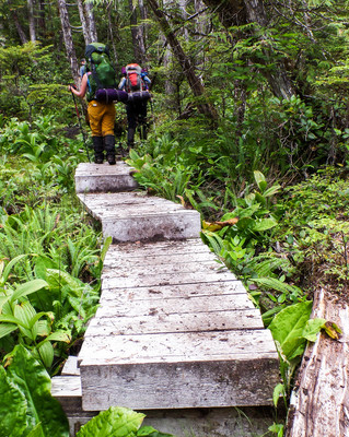
We were thrilled when we hit our first boardwalk. It was like seeing the yellow brick road. It was way too short.
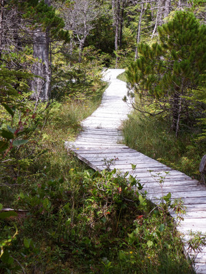
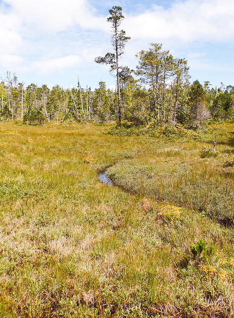
We stopped and had our second break in this lovely sunny bog around 11:40.
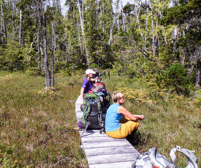
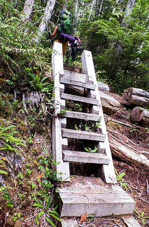
Off we go again. Trail changed a bit, found some ladders and stairs.
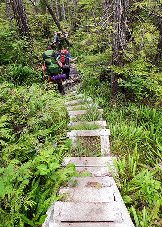
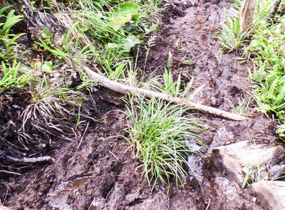
And then back to mud, worse than previous.
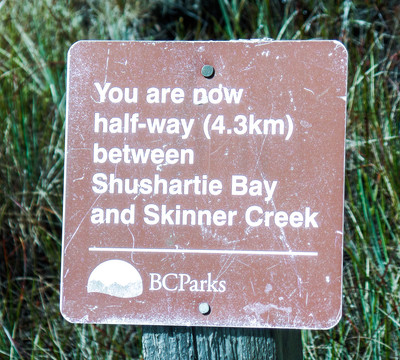
When we got to the half-way sign, I almost cried. We thought we were almost there! Not halfway!
The rest of the day was spent crawling to our destination. One of our party wound up with a pinched nerve in their back which caused a bit of an issue. We split up some gear, took our time and worked our way to our destination. Skinner Creek.
We all made it to our destination at 7:45 - that is correct - 7:45 pm. We were all exhausted.
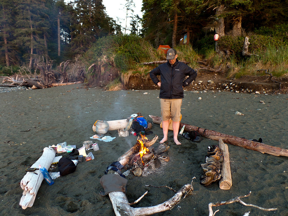
Some of the other people on the trail had a fire going, so we joined them and made our dinner, along with our well deserved dessert!
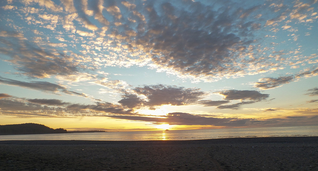
The view was breathtaking.
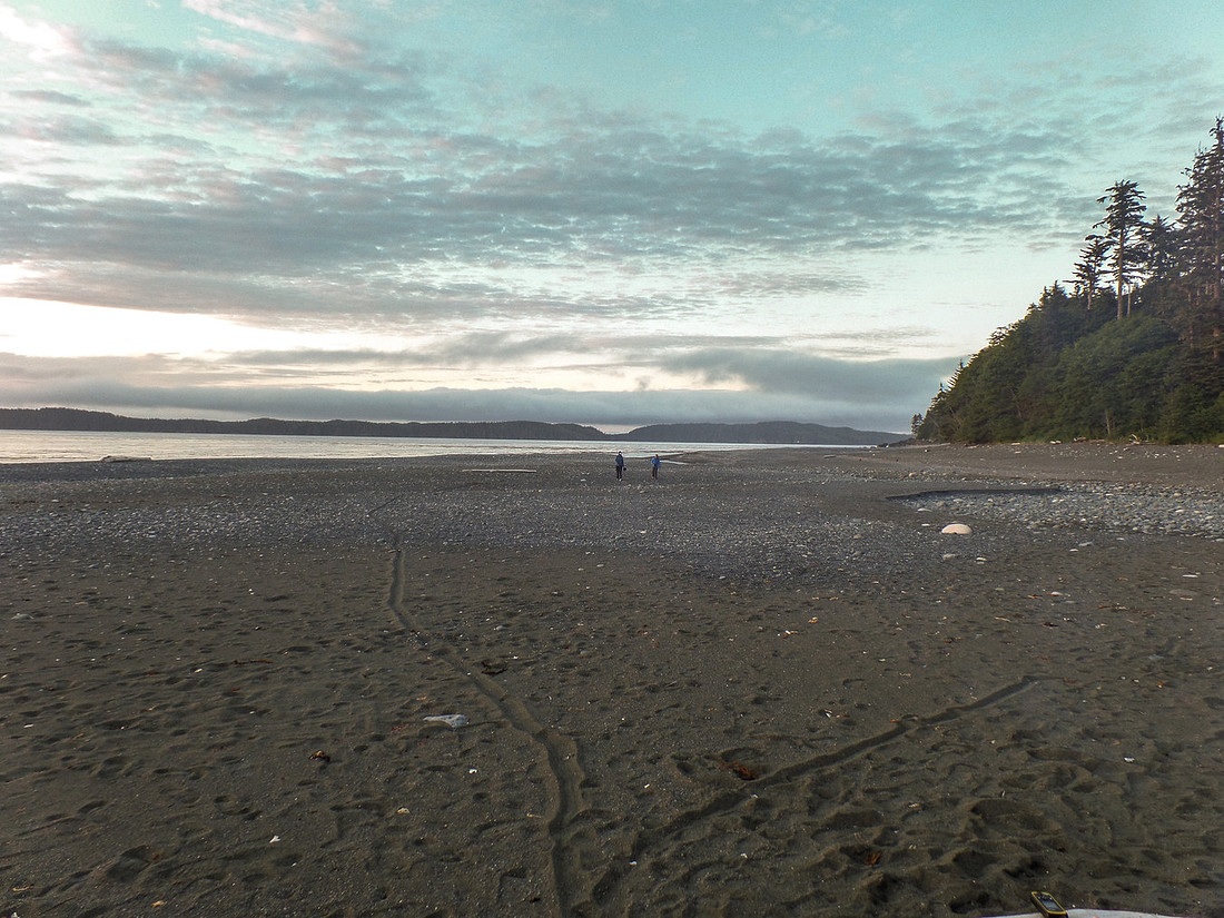
Crawled into bed around 10 and passed out.
Shushartie Bay to Skinner - Official Map Distance: 8.1 km
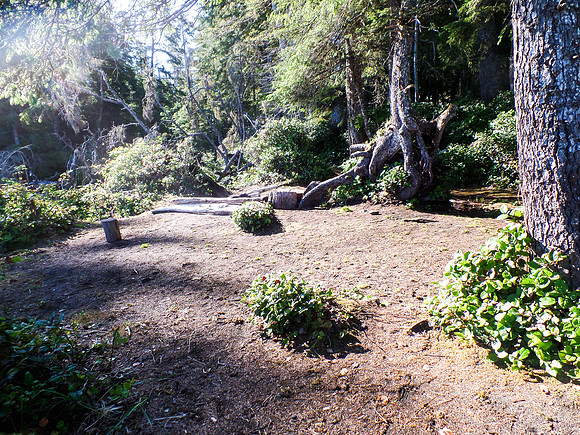
July 28 - Wide awake at 5:30, but refused to get out of bed until 6am. We have a leisurely morning with, of course, Bailey's and Coffee! This is a picture of the campsite after we are all packed up. There wasn't a lot of campsites, so it was very crowded with several groups having to share it.
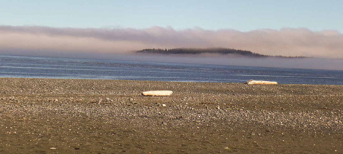
The fog rolling in on one side of camp.
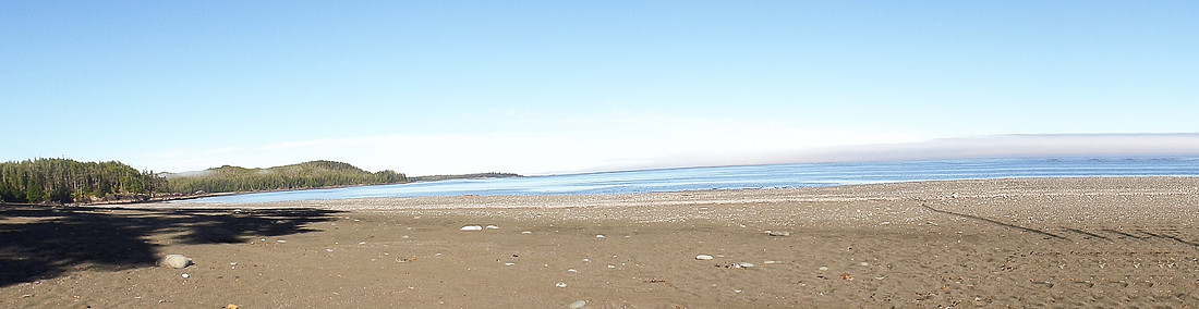
Not as much fog on this side.
 9:25 we head on our way. It is an amazing start of our day. Almost forgot about yesterdays slogging... almost.
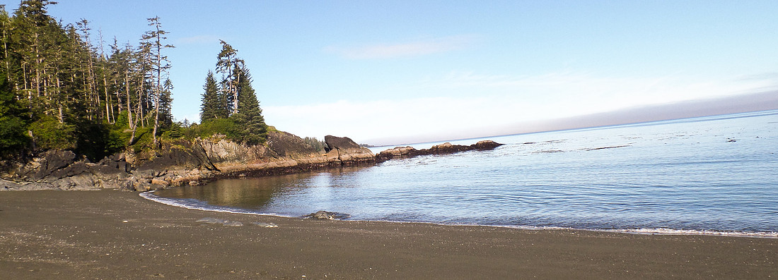
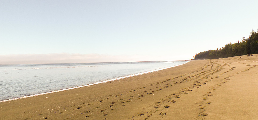
Looking back along our path. We quite enjoyed the beach walk to start off our day.
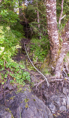
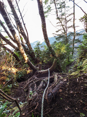
And back into the trees starting with a rope.
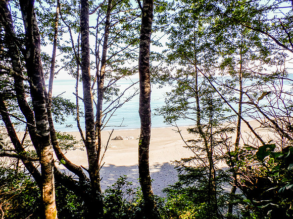
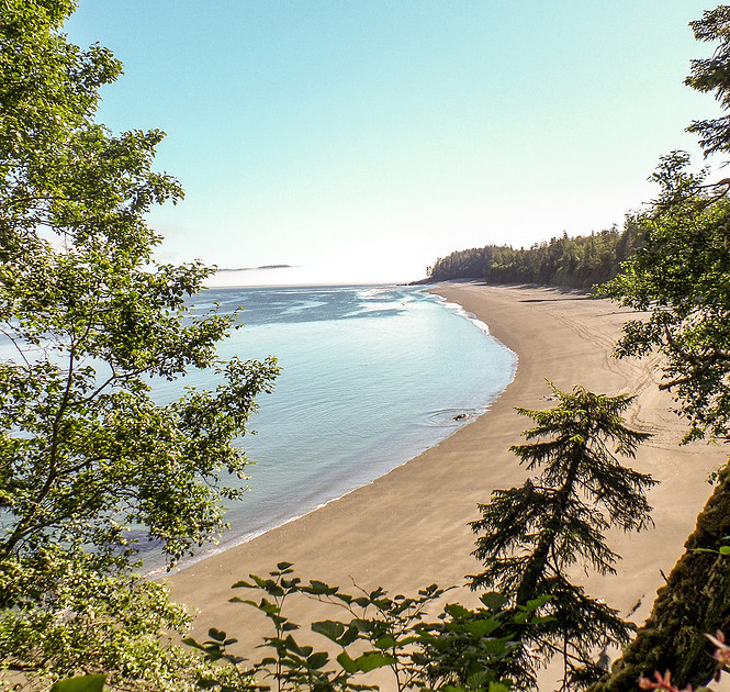
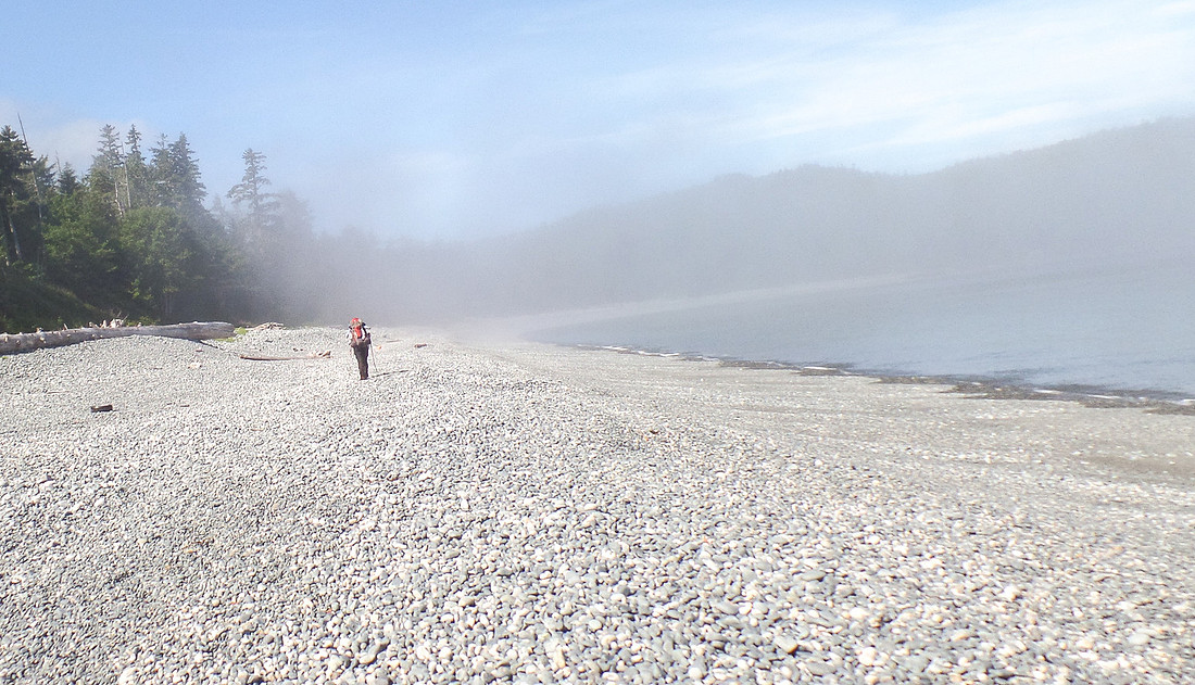
As we arrive back on the beach, there is still fog. These cobble beaches are hard to walk on. The rocks slide and are really unstable. They are exhausting.
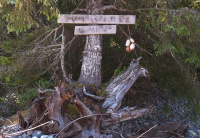
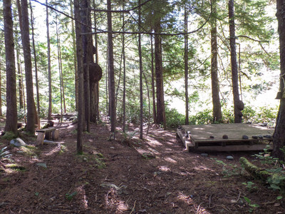
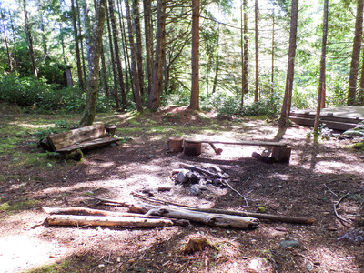
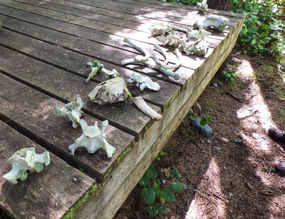
11:10 am we arrive at Nahwitti Camp. Official Map distance is 2.9 km from Skinner Creek. This camp site is amazing! Water is a little further away, but not bad. We should have pushed a little bit more and made it here! Now we know for next time. There were bones near one of the tent pads. We think they were bear bones. We stopped for a break and refilled our water.
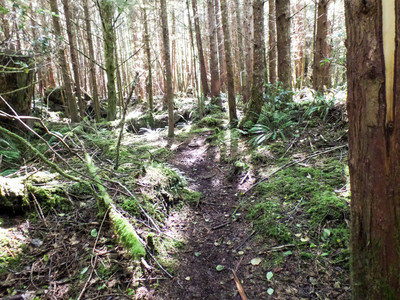
We continue on our trek and shortly come to the cable car.
Now the cable car was a new experience for me. The sign says 2 people, 2 bags, max 600 pounds. So we tried 2 people and 1 bag. No Way. There is too much weight in that car, and it is really hard for the people in the car to help pull. Getting the rest of us across wasn't too bad, one person on either end pulls, and the last person helps the one. That was ok. You have to watch the pulley - we had a small injury were a pulley took a nip out of a finger. Gloves were handy, extra grip and less friction on the hands.
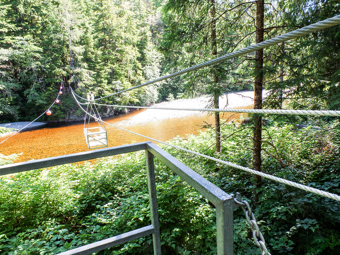
We cross the river, and the water is a reddish color. All of the water we are filtering on our trip seems to be yellow tinted, even after running it through the filter. Not sure what the minerals in the water are. Tastes a little funny, but it doesn't hurt us. About this time we realize that the last bit of water we filtered was brackish - tainted with salt water flowing up the river. For the record - salt water reeks havoc on water filters - always taste test the water before filtering.
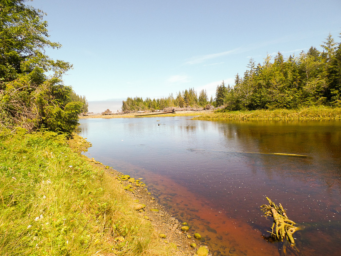
Since we had to do a water change, we decided to stop for lunch at a nice little creek - somehow I missed taking a picture of it.
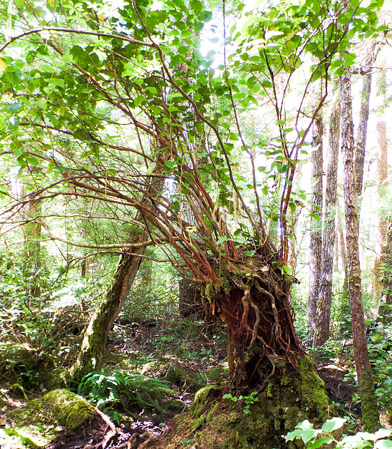
As we continued on, I noticed a few weird trees. Susannah told me that they are called nurse trees. This is where new growth starts on a dead or dying tree, and it provides nutrients to the new growth. Eventually the old tree breaks down to nothing and there is a "hole" at the bottom of the new tree where the old one used to be. Nature is amazing.
Our trail peeked in and out of pocket beaches as we climbed up and down the headlands. The views were fantastic. There was so much variety, some beaches were sandy, others cobble, some were large rocks, some were one giant rock with pools. We could have spent days exploring had time (and energy) permitted. There were ropes and stairs, and more ropes.
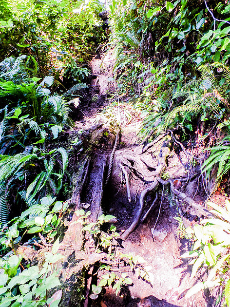
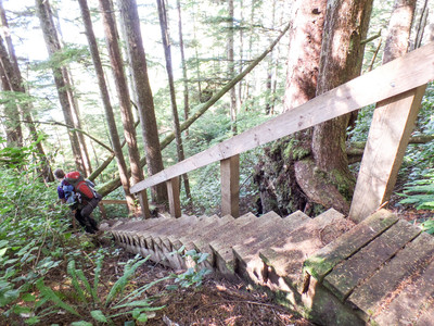
There was this one crazy headland where you climb a long way up one side, there is a 2 foot ledge, and then you have to climb down the other side. And the down is super steep. At one point you have to try and free climb with your pack. This was the most difficult bit of the trip. Massive amounts of arm strength required. We all made it though - with running commentary!
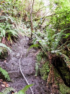
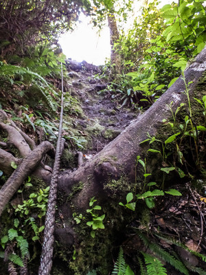
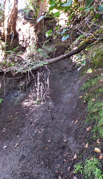
Some of the pocket beaches we saw this day had small tidal pools, where we got to check out a few bits of sea life. No complaints for taking short photo breaks!
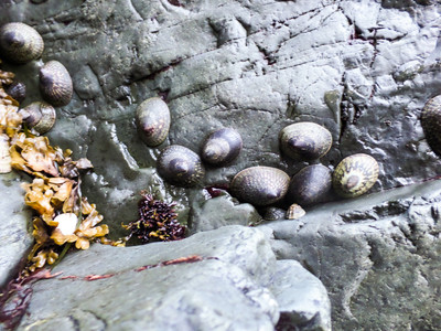
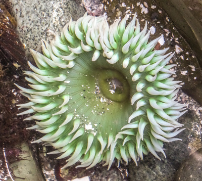
We arrive at Cape Sutil after a 10 hour day. We set up the tents on the beach and hang by the fire.
Beach camping quickly became our favourite place to camp. It was soft, lots of space from other campers, and the ocean helps lull us to sleep. Down side is that I often woke up in the middle of the night having to pee.....
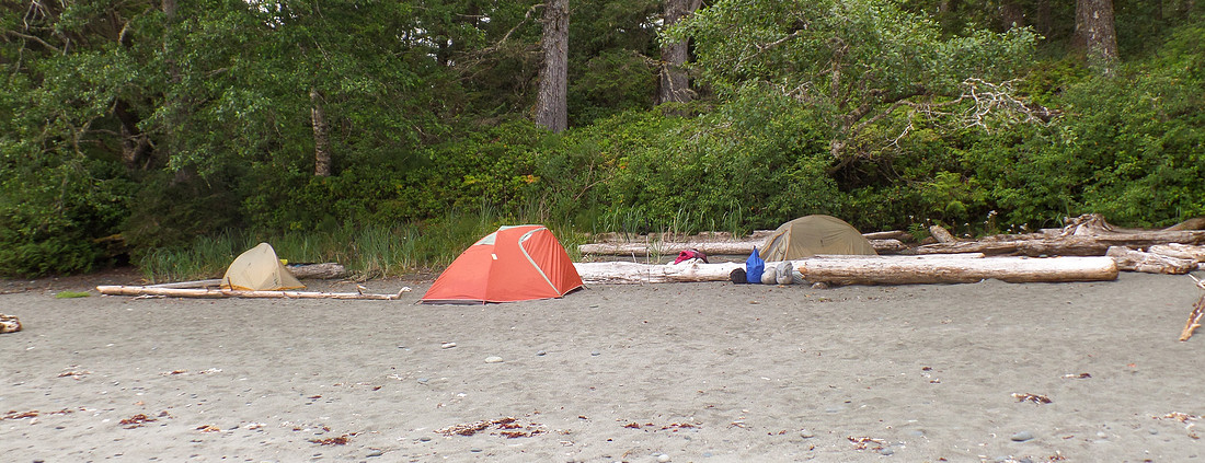 And so ends day two of our trip.
Skinner Creek to Cape Sutil - Official Map Distance 7.9 km
GPS Stats