


North Coast Trail July 27 to August 2, 2014 Part 2

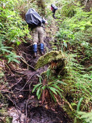
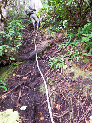
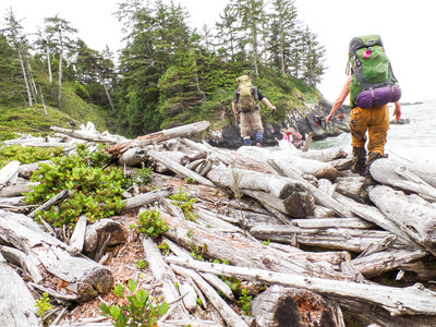
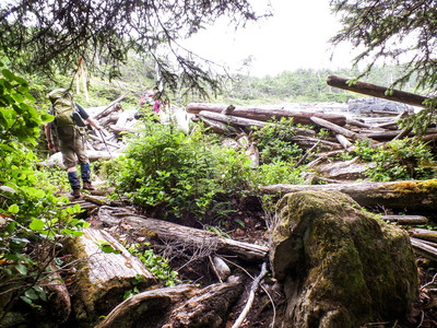
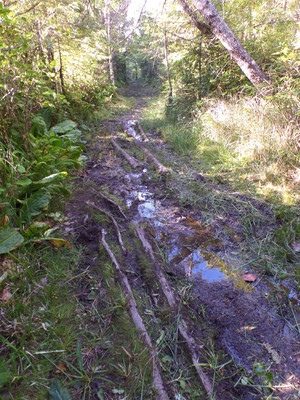
July 29 - I wake up early again. It was sunny and beautiful. A short stroll down the beach showed some new bear tracks. They are really active out here! By the time we are ready for breakfast there is a light rain and the fog blew in, making packing up a very damp endeavour! We are on the trail by 9:50am. It is another day of headlands and beaches. Still a very technical trail - over roots, through lots of mud, up, down, up down, Ropes and log walks.
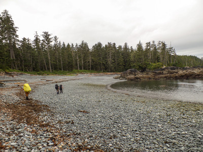
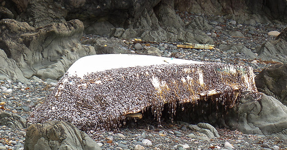
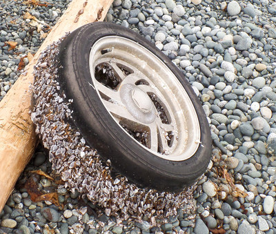
Some of the stuff you find in these beaches are just neat. Not sure I would trust this boat to take me home though! It may have been here for a while.
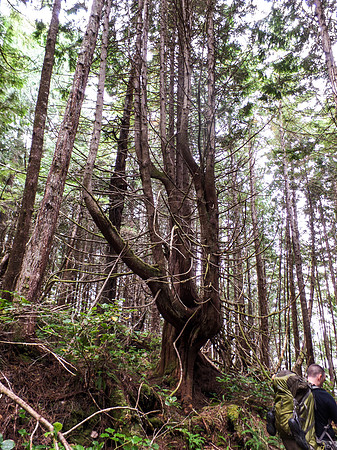
Some of the trees grow really weird too.
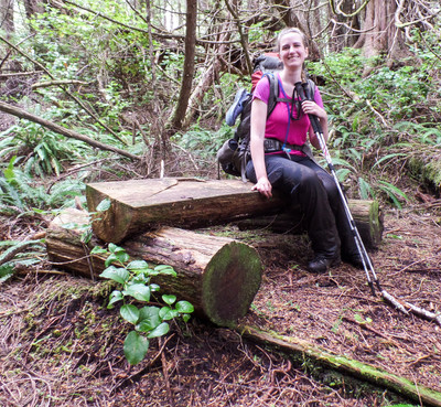
The staff putting in the boardwalks and *cough* "maintaining" the trail must have needed a place to rest! Hello bench! It is quite civilized.
After our short break we continue on!
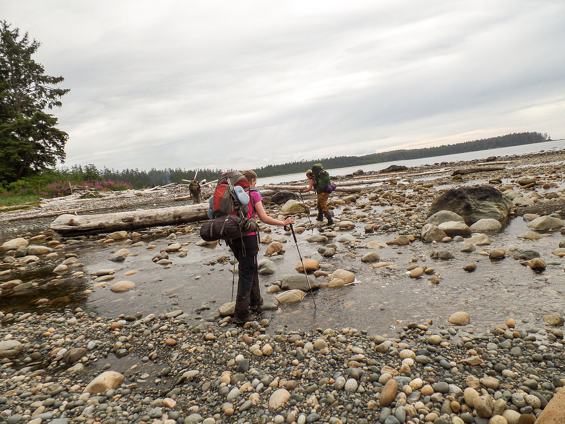
After another hard day day on the trail (which was not as hard as day 1 or 2) we come into the home stretch! If you look carefully, you can see smoke in the distance! Some other hikers had a fire going! After another half an hour we were there! We hung up our tents and some other gear and tried to shake off some of the rain from the morning.
We then went to hang out by the fire, happily take off our hiking boots, fetch some water and have some dinner! I was hungry!
I was finding that since the level of exertion was so much more then any other hiking I had done - I was eating ALOT of food. I could have made it on the food I brought - but Margaret and Susannah had packed extra snacks - that I happily helped them with. It made the trek that much more enjoyable. However, by the end I had gained some weight!
After dinner - we had some sunshowers! I had to run to finish putting the fly on the tent. Again, where we camped was fantastic.
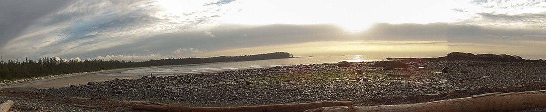
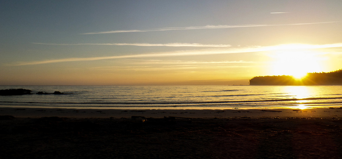
The evenings were always fantastic.
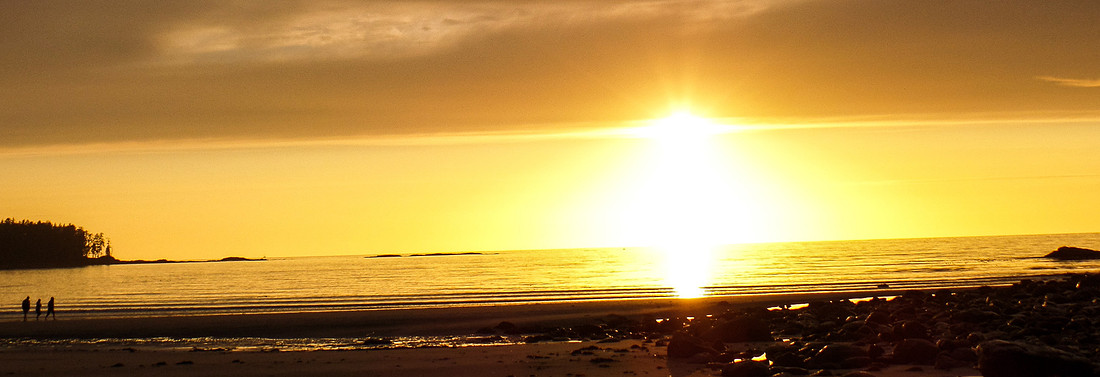
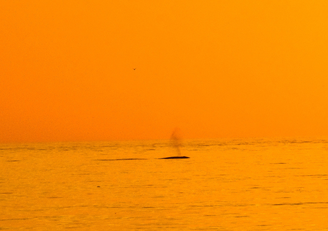
And then we notice off on the horizon - Breaching Gray Whales!
You may have noticed - I love sunset photos! lol
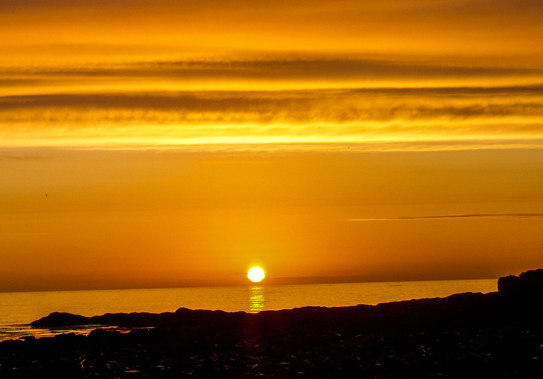
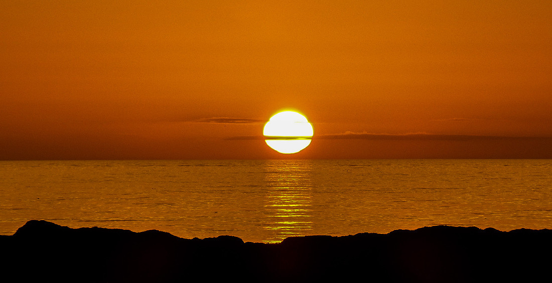
And so ends day 3 of our hike.
Cape Sutil to Irony Creek (Shuttleworth Bight) - Official Map Distance:7.8 km
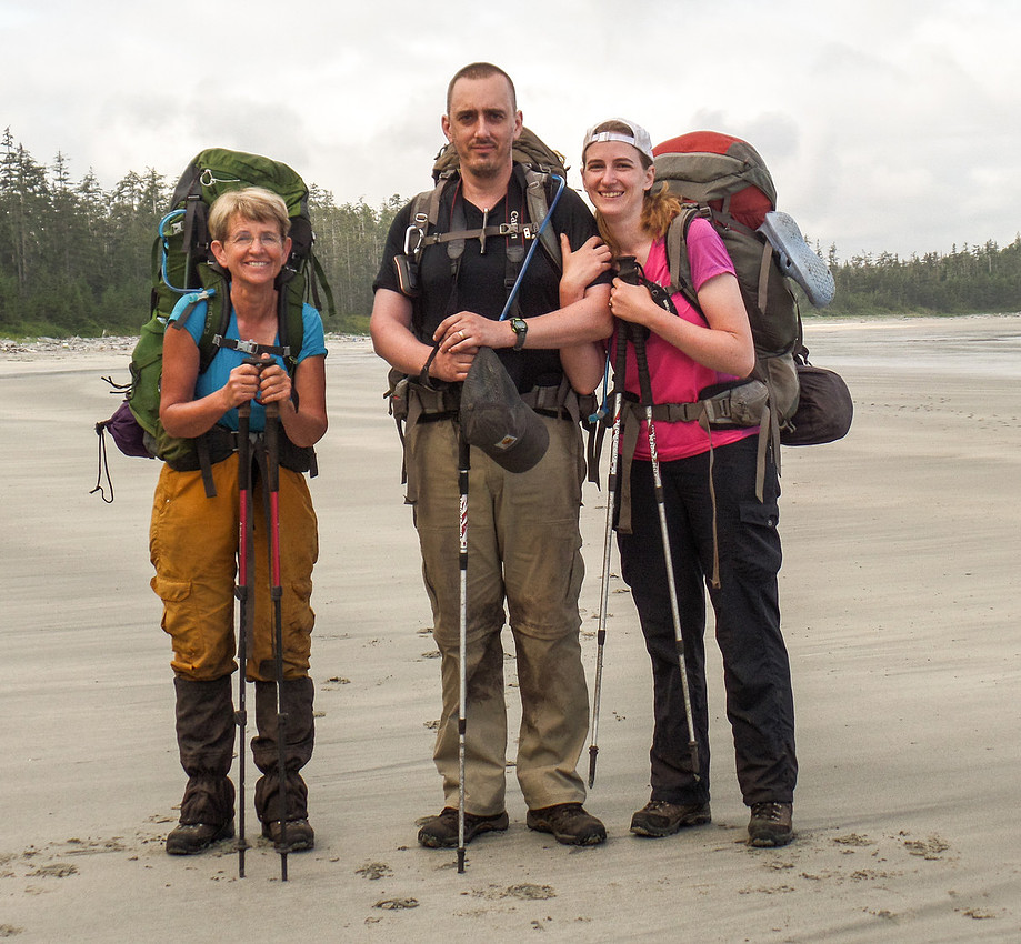
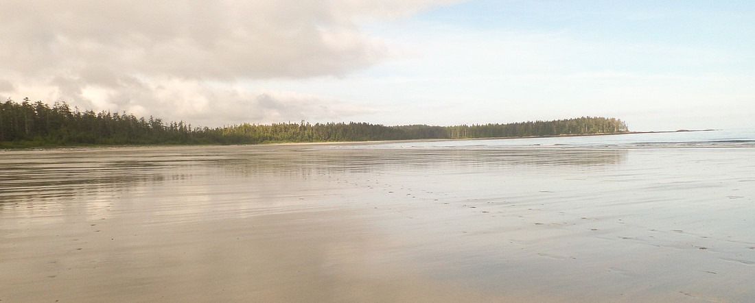
It is another beautiful day - the weather has been fantastic! The beach looks amazing! To start our day we get to trek along the damp sandy beach, which is heaven!
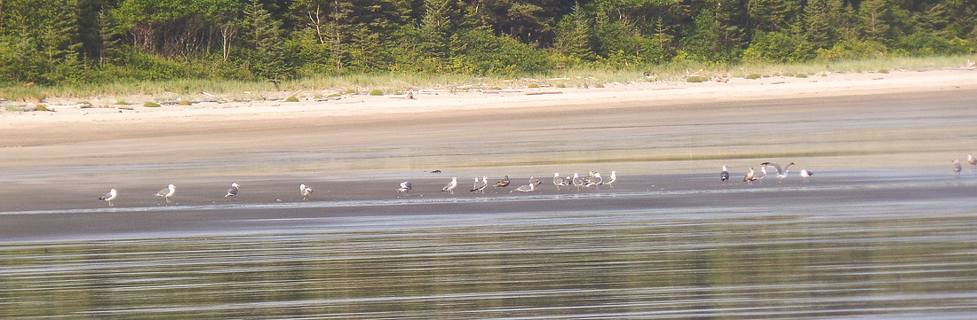
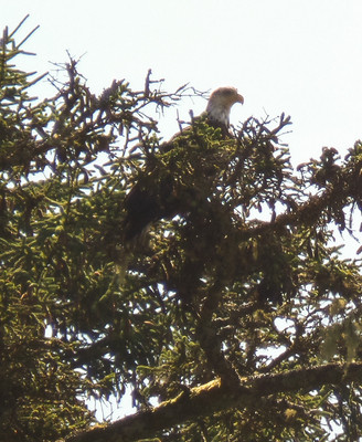
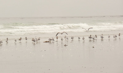
Even the birds are out enjoying the day! We watched them for a bit.
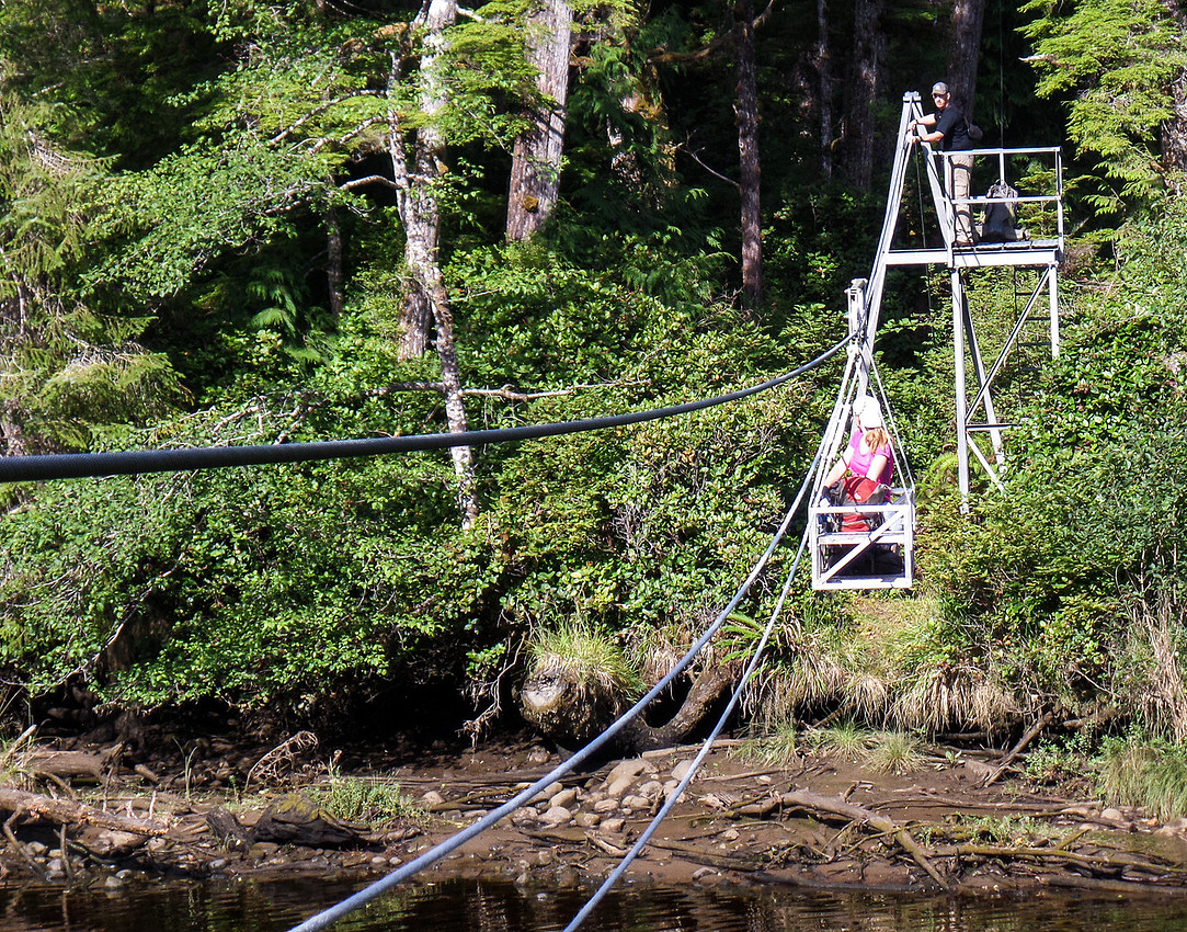
The over land hike today was pretty decent! Some mud, but nothing like the last 3 days!! There was still some technical bits, but nothing too difficult. We had a couple of beaches and then we hit another cable car! We now know the drill - no injuries on this crossing.
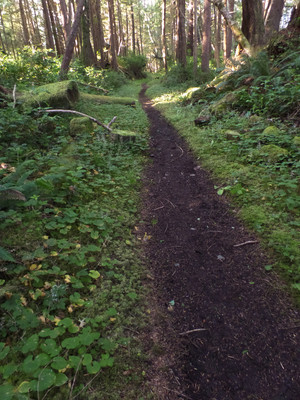
We had some lovely woodland trails.
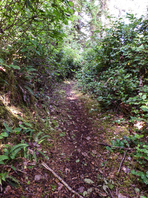
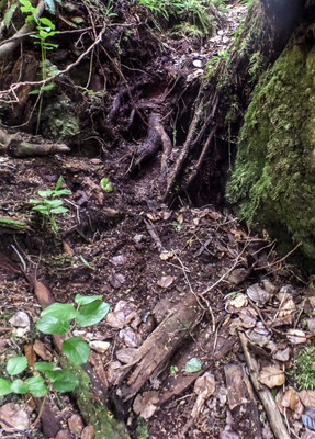
We came across a lot more beaches. From walking on plants, wet kelp, dried grasses, small rocks, cobble rocks, large rocks to all rock.
Walking on the rocks is harder than you would think. The rocks slide around so it is unstable footing The sand is nice when wet, lots of rocky coast with some tidal pools.
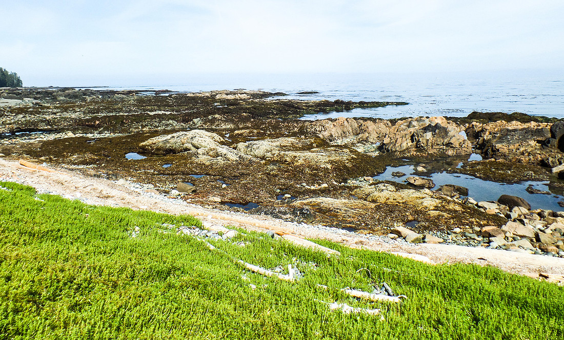
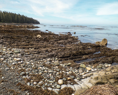
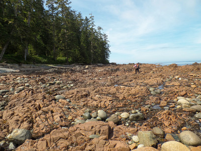
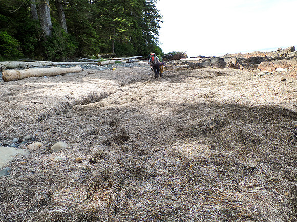
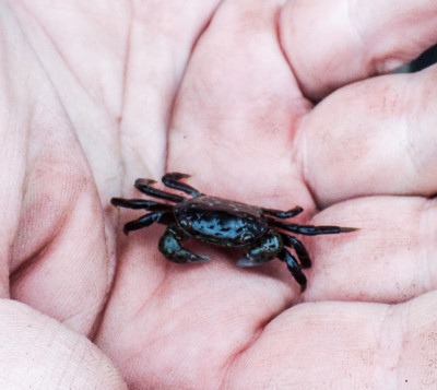
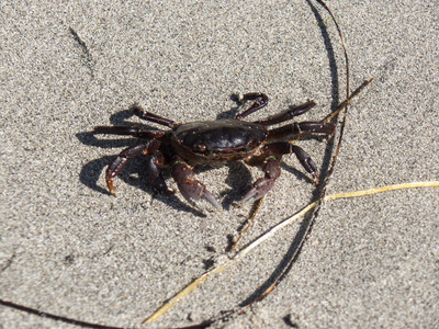
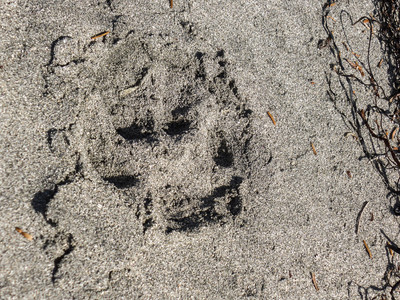
The breaks on the beach were fantastic. Take the pack off, sit in the sun or shade and watch the ocean. Very relaxing. Oh - and we got to watch the whales, dolphins (didn't get the pictures) see an eagle, torment some crabs, see animal prints (weasel, cougar, bear). The afternoon was almost all beach walking.
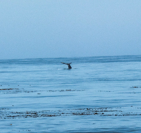
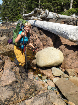
The afternoon sun was making it quite hot. We started taking breaks in the shade.
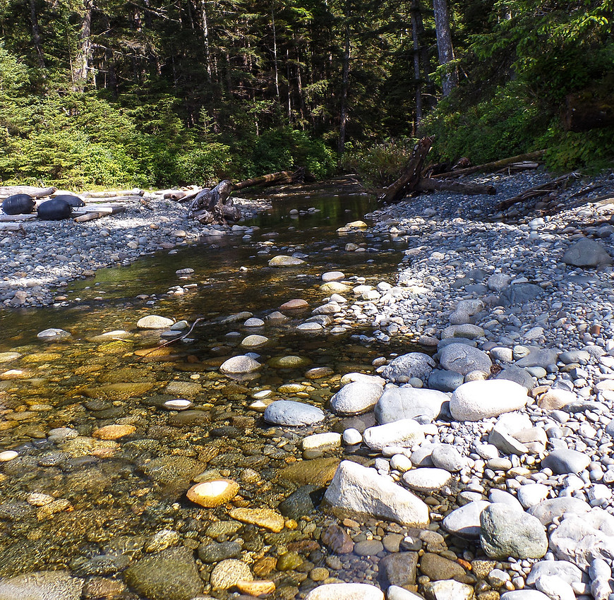
We had a lovely creek near camp. The water was so nice and refreshing. Set up camp and came back to the creek. I had a creek bath. The water was sooooo cold! I washed my hair and was rinsing it in the creek and my scalp went numb! But wow - I felt so much better.
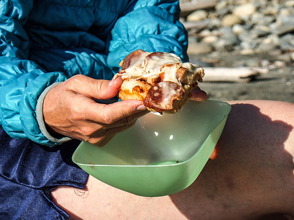
Susannah made pizza for dinner. I totally need to get this recipe! it looks amazing! I was very very jealous!
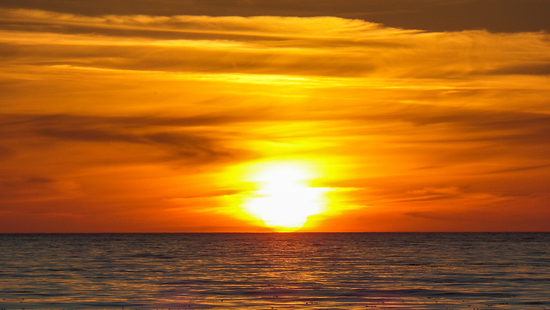
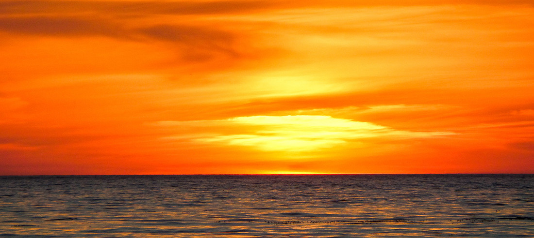
Again with the amazing Sunsets!
Irony Creek to Laura Creek Campsite - Map Distance: 11.8km
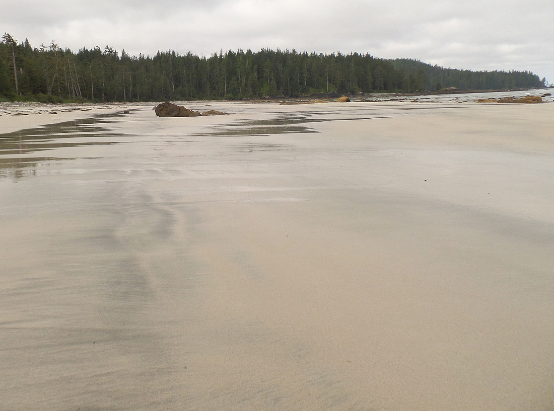
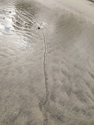
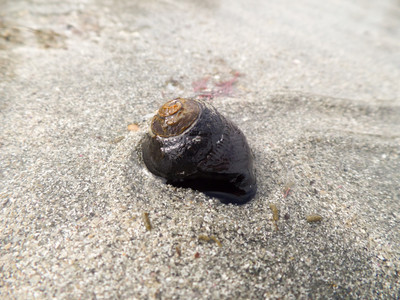
We couldn't figure out what one of the tracks we saw on the beach was, it looked like someone dragged a stick along. We followed it - and found a snail! lol.
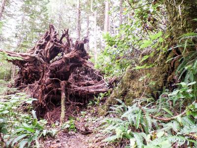
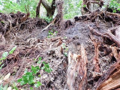
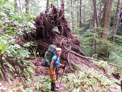
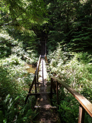
And then we had to climb uphill and mud! Way too early for this! Upstairs, and under a log! And then a fallen trees root was in our way. And we decided to go around it.
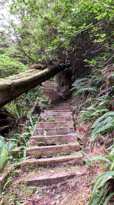
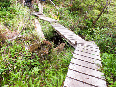
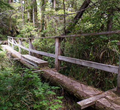
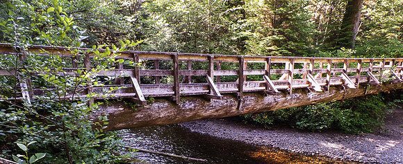
A nice structural bridge - and a less structural bridge.
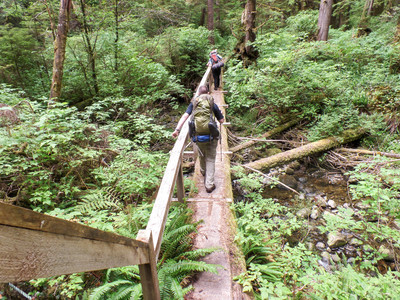
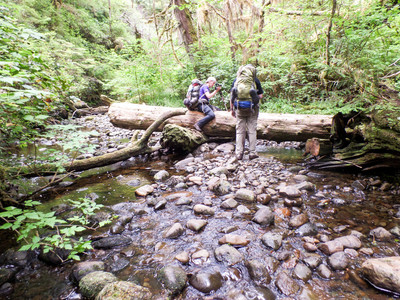
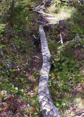
And Boardwalk - and a Logwalk?
Bridge with a platform...
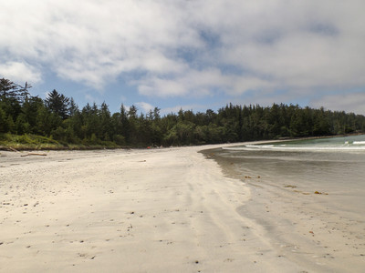
Home stretch into camp! Just before this, I rolled on a rock and hurt my knee (I later discovered I tore my LCL). Didn't hurt too much at the time, but it got worse.
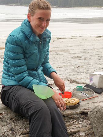
Susannah made an amazing Salmon Melt for dinner. I really need her to cook for me more - wow. I stole a bite - it was tasty!
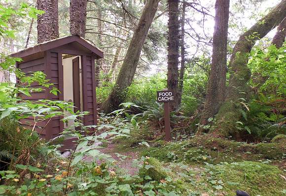
This kind of confused me - because the food cache is actually behind me on the other side of the trail.... ha ha ha
We set up camp - had to do a lot of water runs. There is a sign (that I missed taking a photo of) that said water source 900m back the way we came. It was a pretty relaxing night. Bernard broke out a book of logic puzzles and I was instantly addicted (damn him!), and we had a fire. It was a good night.
Laura Creek to Nissen Bight - Official map distance: 7.5 km
GPS Stats
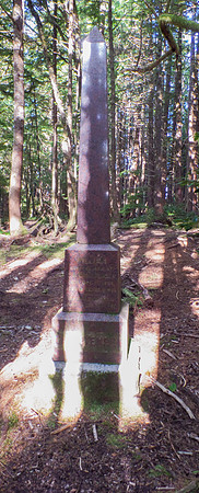
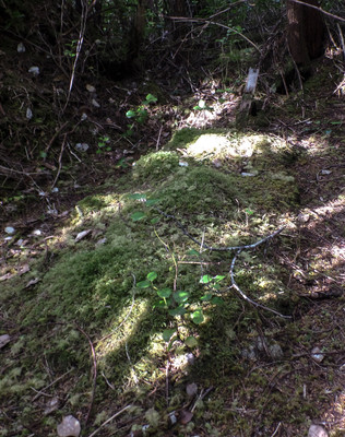
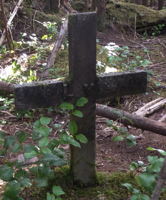
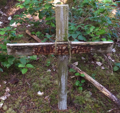
There isn't much left at the settlement. An old well, plough, I think something that churns butter, remains of a building.
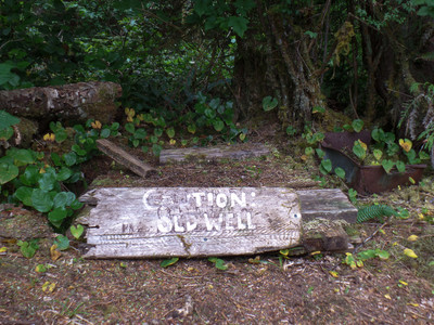
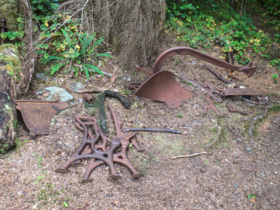
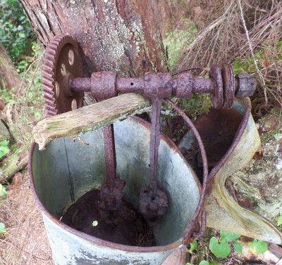
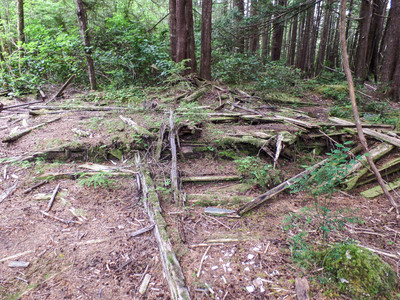
After the relaxing stroll - back to camp. Another fantastic evening.
Bernard and Susannah made it to Nel's Bight.
GPS Distance 13.9 km
And so ends this expedition. Hope you enjoyed!